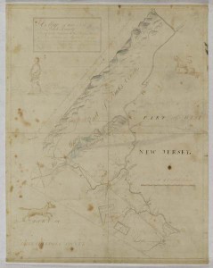
Atlantic World (Connections and Impact)
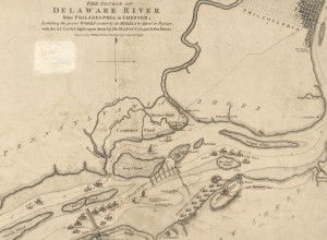
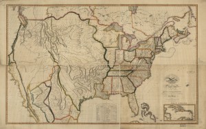
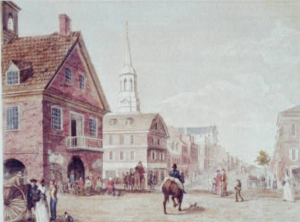
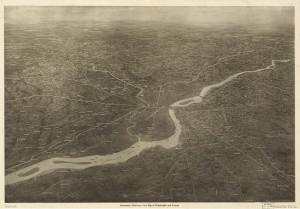
Philadelphia’s nearest ocean has left a profound imprint on the region’s politics, economy, and culture, but the relationship between the Delaware Valley and the Atlantic basin has passed through several distinct phases. From its beginnings as a European settler colonial city, Philadelphia matured into an important Atlantic node, serving as a commercial hub, an immigrant entrepôt, and a ...